A New National Highway is All Set to Connect Bangalore
The planned route will go via Rajakottai and Palacode and will help drivers skip Hosur town.
Source: https://www.thenewsminute.com/article/nhai-plans-shorten-salem-bengaluru-route-25-kms-calls-tenders-120194
I don’t think it is "Rajakottai", as mentioned in the article, but "Rayakottai" along the Hosur-Dharmapuri road, which runs parallel to the Bangalore-Salem railway line from Hosur onwards.
The below maps represent my idea of how the highway could be aligned. It may or may not be different from what the NHAI has planned.

The above alignment could be considered as it passes through the vicinity of the upcoming DLI Integrated Logistics Park, Bangalore, near Anekal.
A second alignment is also possible:

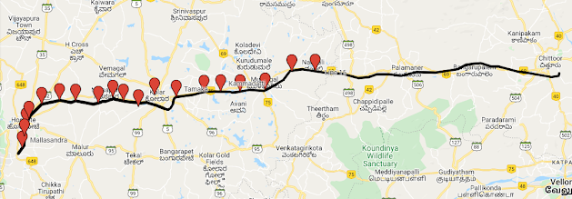
In both the images, black lines indicate the stretch of the road that needs to be laid by acquiring land.
I reiterate that the above images are just my thoughts and may be different from what the NHAI plans to implement.
Comments
Post a Comment